-
On the Opportunities and Challenges of Foundation Models for GeoAI.
ACM Transactions on Spatial Algorithms and Systems. 2024(03), 1-44.

-
SpatialScene2Vec: A Self-Supervised Contrastive Representation Learning Method for Spatial Scene Similarity Evaluation.
International Journal of Applied Earth Observation and Geoinformation. 128(103743), 1-11.

-
A five-year milestone: reflections on advances and limitations in GeoAI research.
Annals of GIS 30(1), 1-14.

-
Artificial Intelligence Studies in Cartography: A Review and Synthesis of Methods, Applications, and Ethics.
Cartography and Geographic Information Science. 51(X), 1-32.

-
Act2Loc: A Synthetic Trajectory Generation Method by Combining Machine Learning and Mechanistic Models.
International Journal of Geographical Information Science. 38(3), 407-431.

-
Handbook of Geospatial Artificial Intelligence.
CRC Press. 1-468.

-
Mixed Land Use Measurement and Mapping with Street View Images and Spatial Context-Aware Prompts via Zero-shot Multimodal Learning.
International Journal of Applied Earth Observation and Geoinformation. 125(103591), 1-12.

-
Holistic Transfer: Towards Non-Disruptive Fine-Tuning with Partial Target Data.
The Proceedings of Thirty-Seventh Annual Conference on Neural Information Processing Systems (NeurIPS 2023), Dec 10-16, 2023, New Orleans, USA.

-
Geo-knowledge-informed Deep Learning for Auto-identification of Supraglacial Lakes on the Greenland Ice Sheet from Satellite Imagery (GIS CUP).
The Proceedings of 31th International Conference on Advances in Geographic Information Systems (SIGSPATIAL’23), November 13-16, 2023, Hamburg, Germany.

-
FLEE-GNN: A Federated Learning System for Edge-Enhanced Graph Neural Network in Analyzing Geospatial Resilience of Multicommodity Food Flows.
The Proceedings of 6th ACM SIGSPATIAL International Workshop on AI for Geographic Knowledge Discovery (GeoAI’23), November 13, 2023, Hamburg, Germany.

-
Building Privacy-Preserving and Secure Geospatial Artificial Intelligence Foundation Models (Vision Paper).
The Proceedings of 31th International Conference on Advances in Geographic Information Systems (SIGSPATIAL’23), November 13-16, 2023, Hamburg, Germany

-
“Geo”-Foundation Models: Reality, Gaps and Opportunities (Vision Paper).
The Proceedings of 31th International Conference on Advances in Geographic Information Systems (SIGSPATIAL’23), November 13-16, 2023, Hamburg, Germany

-
CATS: Conditional Adversarial Trajectory Synthesis for Privacy-Preserving Trajectory Data Publication Using Deep Learning Approaches.
International Journal of Geographical Information Science. 37(12), 2538-2574.

-
Bringing Spatial Interaction Measures into Multi-Criteria Assessment of Redistricting Plans Using Interactive Web Mapping.
Cartography and Geographic Information Science

-
Evaluating the Effectiveness of Large Language Models in Representing Textual Descriptions of Geometry and Spatial Relations.
In the Proceedings of the 12th International Conference on Geographic Information Science (GIScience 2023), No. 43; pp. 43:1–43:6

-
The Ethics of AI-Generated Maps: DALL·E 2 and AI’s Implications for Cartography.
In the Proceedings of the 12th International Conference on Geographic Information Science (GIScience 2023), No. 93; pp. 93:1–93:6

-
Here is Not There: Measuring Entailment-based Trajectory Similarity for Location-Privacy Protection and Beyond.
In the Proceedings of the 2023 International Symposium on Platial Information Science (PLATIAL’23), Dortmund, Germany, 19–21 September 2023; pp. 1–6

-
Measuring Access Inequality in A Hybrid Physical-Virtual World: : A Case Study of Racial Disparity of Healthcare Access During COVID-19.
In the Proceedings of the 30th International Conference on Geoinformatics (Geoinformatics 2023),pp 1-10, July 19-21, London, UK.

-
Incorporating multimodal context information into traffic speed forecasting through graph deep learning.
International Journal of Geographical Information Science. 37(9), 1909–1935.

-
Revealing intra-urban hierarchical spatial structure through representation learning by combining road network abstraction model and taxi trajectory data.
Annals of GIS 29(4), 499-516.

-
Health disparity in the spread of COVID-19: Evidence from social distancing, risk of interactions, and access to testing.
Health & Place. 2023, 82, 103031.

-
A Geospatial Approach to Identify Patterns of Antibiotic Susceptibility at a Neighborhood Level in Wisconsin, United States.
Scientific Reports. 13(7122), 1-10.

-
Assessing Differences in Safety Perceptions using GeoAI and Survey across Neighbourhoods in Stockholm, Sweden.
Landscape and Urban Planning. 236, 104768, 1-11.

-
Embracing geospatial analytical technologies in tourism studies.
Information Technology & Tourism. 2023, 25, 137–150

-
An Interactive Knowledge and Learning Environment in Smart Foodsheds.
IEEE Computer Graphics and Applications, 43(3), 1-13.

-
Rethinking the regularity in mobility patterns of personal vehicle drivers: A multi-city comparison using a feature engineering approach.
Transactions in GIS, 27(3), 663-685.

-
Choosing GIS graduate programs from afar: Chinese students’ perspectives.
Transactions in GIS, 27(2), 450–475.

-
Special Issue on Geospatial Artificial Intelligence.
Geoinformatica, 27, 1-6.

-
Symbolic and subsymbolic GeoAI: Geospatial knowledge graphs and spatially explicit machine learning.
Transactions in GIS, 26(8), 3118-3124.

-
Region2Vec: Community Detection on Spatial Networks Using Graph Embedding with Node Attributes and Spatial Interactions.
The Proceedings of 30th International Conference on Advances in Geographic Information Systems (SIGSPATIAL’22), November 1-4, 2022, Seattle, WA, USA

-
Exploring multilevel regularity in human mobility patterns using a feature engineering approach: A case study in Chicago.
The Proceedings of 30th International Conference on Advances in Geographic Information Systems (SIGSPATIAL’22), November 1-4, 2022, Seattle, WA, USA

-
Understanding the spatiotemporal heterogeneities in the associations between COVID-19 infections and both human mobility and close contacts in the United States.
The Proceedings of the 3rd ACM SIGSPATIAL International Workshop on Spatial Computing for Epidemiology (SpatialEpi ’22), pp 1-9, November 1-4, 2022, Seattle, WA, USA.

-
Measuring network resilience via geospatial knowledge graph: a case study of the us multi-commodity flow network.
The Proceedings of the 1st ACM SIGSPATIAL International Workshop on Geospatial Knowledge Graphs (GeoKG’22), pp 17-25, November 1-4, 2022, Seattle, WA, USA

-
Towards the intelligent era of spatial analysis and modeling.
The Proceedings of the 5th ACM SIGSPATIAL International Workshop on AI for Geographic Knowledge Discovery (GeoAI’22), pp 10-13, November 1-4, 2022, Seattle, WA, USA

-
Introduction to the Special Issue on Understanding the Spread of COVID-19.
ACM Transactions on Spatial Algorithms and Systems,

-
Interactive Web Mapping for Multi-Criteria Assessment of Redistricting Plans.
In AutoCarto 2022, the 24th International Research Symposium on Cartography and GIScience.

-
A Review and Synthesis of Recent GeoAI Research for Cartography: Methods, Applications, and Ethics.
In AutoCarto 2022, the 24th International Research Symposium on Cartography and GIScience.

-
Fine-grained crowd distribution forecasting with multi-order spatial interactions using mobile phone data.
Transportation Research Part C: Emerging Technologies. 144(103908), 1-18.

-
Explainable artificial intelligence in the spatial domain (X-GeoAI).
Transactions in GIS, 26(6), 2413-2414.

-
Towards Place-Based GIS.
New Thinking in GIScience. Bin Li, Xun Shi, A-Xing Zhu, Cuizhen Wang, Hui Lin (Eds). Chapter 6, 51-58.

-
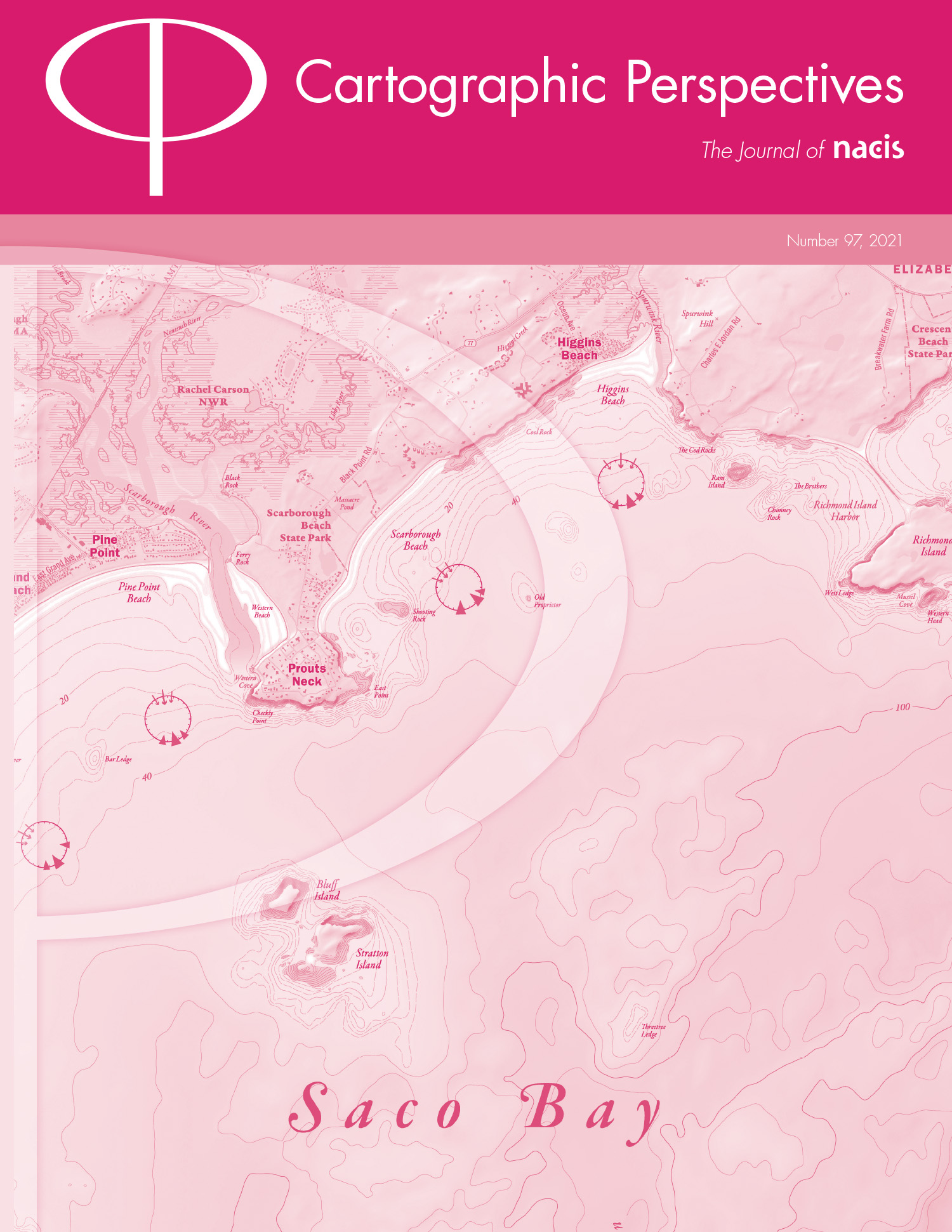
Visual Storytelling with Maps: An Empirical Study on Story Map Themes and Narrative Elements, Visual Storytelling Genres and Tropes, and Individual Audience Differences.
Cartographic Perspectives, 100, 1-35.
-
Perception of urban population characteristics through dietary taste patterns based on takeout data.
Cities, 131, 103910.

-
Points of Interest (POI): a commentary on the state of the art, challenges, and prospects for the future.
Computational Urban Science. 2(1), 1-13.

-
COVID-19 lockdown introduces human mobility pattern changes for both Guangdong-Hong Kong-Macao greater bay area and the San Francisco bay area.
International Journal of Applied Earth Observation and Geoinformation. 112(8), 102848.

-
STICC: A multivariate spatial clustering method for repeated geographic pattern discovery with consideration of spatial contiguity.
International Journal of Geographical Information Science. 36(8), 1518-1549.

-
DeepSSN: a deep convolutional neural network to assess spatial scene similarity.
Transactions in GIS, 26(4), 1914-1938.

-
Exploring the spatial disparity of home-dwelling time patterns in the U.S. during the COVID-19 pandemic via Bayesian inference.
Transactions in GIS, 26(4), 1939-1961.

-
Reconciling public health common good and individual privacy: new methods and issues in geoprivacy.
International Journal of Health Geographics. 21(1), 1-9.

-
A Review of Location Encoding for GeoAI: Methods and Applications.
International Journal of Geographical Information Science. 36(4), 639-673.

-
VTSV: A Privacy-Preserving Vehicle Trajectory Simulation and Visualization Platform Using Deep Reinforcement Learning.
The 4th ACM SIGSPATIAL International Workshop on AI for Geographic Knowledge Discovery (GeoAI’21), pp. 1-4, Nov.2, Beijing, China

-
Methods of Social Sensing for Urban Studies.
In Xiaojun Yang (Eds). Urban Remote Sensing: Monitoring, Synthesis and Modeling in the Urban Environment, 2nd Edition . Chapter 4, pp. 71-90, Wiley.

-
Places for Play: Understanding Human Perception of Playability in Cities Using Street View Images and Deep Learning.
Computers, Environment and Urban Systems. 90, 101693, 1-15.

-
Human settlement value assessment from a place perspective: Considering human dynamics and perceptions in house price modeling.
Cities. 118, 103333, 1-14.

-
A Multi-perspective Narrative-Based Geovisualization Dashboard for the 2020 US Presidential Election.
Journal of Geovisualization and Spatial Analysis
-
Impacts of COVID-19 lockdowns and stimulus payments on low-income population’s spending in the United States.
PLOS ONE. 2021, 16 (9), e0256407.

-
Quantifying COVID-19 importation risk in a dynamic network of domestic cities and international countries.
Proceedings of the National Academy of Sciences. 2021, 118 (31), e2100201118

-
Intracounty modeling of COVID-19 infection with human mobility: assessing spatial heterogeneity with business traffic, age and race.
Proceedings of the National Academy of Sciences. June 15, 2021, 118 (24) e2020524118

-
Exploring Store Visit Changes During the COVID-19 Pandemic Using Mobile Phone Location Data.
In Shih-Lung Shaw and Daniel Sui (Eds): Mapping COVID-19 in Space and Time: Understanding the Spatial and Temporal Dynamics of a Global Pandemic (Chapter 13). pp. 253-275, Springer.

-
Geospatial Artificial Intelligence (GeoAI).
Oxford Bibliographies in Geography. 1-16.

-
A privacy-preserving framework for location recommendation using decentralized collaborative machine learning.
Transactions in GIS, 25(3), 1153-1175.

-
Automatic Urban Road Network Extraction From Massive GPS Trajectories of Taxis.
In Werner M., Chiang YY. (Eds) Handbook of Big Geospatial Data. Chapter 11, pp. 261-283, Springer.
-
User-Generated Content: A Promising Data Source for Urban Informatics.
In Wenzhong Shi, Michael F. Goodchild, Michael Batty, Mei-Po Kwan, Anshu Zhang (Eds). Urban Informatics. Chapter 28, pp. 503-522, Springer.

-
Prediction of human activity intensity using the interactions in physical and social spaces through graph convolutional networks.
International Journal of Geographical Information Science. 35(12), 2489-2516.

-
Staying at home is a privilege: evidence from fine-grained mobile phone location data in the U.S. during the COVID-19 pandemic.
Annals of the American Association of Geographers.

-
Locating Community-Based Comprehensive Service Facilities for Older Adults Using the GIS-NEMA Method in Harbin, China
Journal of Urban Planning and Development. 147 (2), 1-14.

-
Urban function classification at road segment level using taxi trajectory data: A graph convolutional neural network approach.
Computers, Environment and Urban Systems. 87, 101619, 1-14.

-
Activity Knowledge Discovery: Detecting collective and individual activities with digital footprints and open source geographic data.
Computers, Environment and Urban Systems. 85, 101551, 1-14.

-
A review of urban physical environment sensing using street view imagery in public health studies.
Annals of GIS 26(3), 261-275.

-
State-specific Projection of COVID-19 Infection in the United States and Evaluation of Three Major Control Measures.
Scientific Reports. 10(22429), 1-9. ( Top 100 most highly accessed papers of 2020 on Sci. Rep. )

-
Urban Flood Mapping with Bi-temporal Multispectral Imagery via a Self-supervised Learning Framework.
IEEE Journal of Selected Topics in Applied Earth Observations and Remote Sensing. Volume 14, 1-16.
-
Multiscale dynamic human mobility flow dataset in the U.S. during the COVID-19 epidemic.
Scientific Data. 7(390), 1-13

-
A Five-Star Guide for Achieving Replicability and Reproducibility When Working with GIS Software and Algorithms.
Annals of the American Association of Geographers. 111(5), 1311-1317.

-
Urban Air Pollution May Enhance COVID-19 Case-Fatality and Mortality Rates in the United States.
The Innovation. 1(3), 100047.

-
Association of Mobile Phone Location Data Indications of Travel and Stay-at-Home Mandates With COVID-19 Infection Rates in the US.
JAMA Network Open. 3(9):e2020485.

-
Understanding house price appreciation using multi-source big geo-data and machine learning.
Land Use Policy.

-
Progress in computational movement analysis – towards movement data science.
International Journal of Geographical Information Science. 34(12), 2395-2400.

-
Machine Learning Approaches
The Geographic Information Science & Technology Body of Knowledge (2nd Quarter 2020 Edition), John P. Wilson (Ed).

-
LSTM-TrajGAN: A Deep Learning Approach to Trajectory Privacy Protection.
In the Proceedings of the 11th International Conference on Geographic Information Science (GIScience 2021), No. 12; pp. 12:1–12:17

-
Mapping county-level mobility pattern changes in the United States in response to COVID-19.
SIGSPATIAL Special. 12(1), 16-26

-
Towards Cartographic Knowledge Encoding with Deep Learning: A Case Study of Building Generalization.
In AutoCarto 2020, the 23rd International Research Symposium on Cartography and GIScience.

-
Landmarks as Beacons: Pedestrian Navigation Based on Landmark Detection and Mobile Augmented Reality.
In AutoCarto 2020, the 23rd International Research Symposium on Cartography and GIScience.

-
Digital Contact Tracing and Surveillance: Geospatial opportunities, limitations, and research directions.
ASU Spatial Analysis Research Center (SPARC) White Paper. pp 1-13.

-
Calibrating the dynamic Huff model for business analysis using location big data.
Transactions in GIS, 24(3), 681-703.

-
Multi-objective trajectory optimization in planning for sequential activities across space and through time.
Environment and Planning B: Urban Analytics and City Science. 46(9), 1756-1768.

-
Uncovering inconspicuous places using social media check-ins and street view images.
Computers, Environment and Urban Systems. Volume 81, 101478, 1-14.

-
Estimation of Regional Economic Development Indicator from Transportation Network Analytics.
Scientific Reports, 10, 2647, 1-15.

-
Investigating urban metro stations as cognitive places in cities using points of interest.
Cities. 97, 102561, 1-13.

<a href=”https://doi.org/10.1016/j.cities.2019.102561″ DOI: 10.1016/j.cities.2019.102561 [PDF]
-
GeoAI: Spatially Explicit Artificial Intelligence Techniques for Geographic Knowledge Discovery and Beyond.
International Journal of Geographical Information Science. 34(4), 625-636.

-
GeoAI at ACM SIGSPATIAL: progress, challenges, and future directions.
The ACM SIGSPATIAL Special. 11(2), 5-15.

-
Exploring the effectiveness of geomasking techniques for protecting the geoprivacy of Twitter users.
Journal of Spatial Information Science. 19, 105-129.

-
Understanding Neighborhood Isolation through Spatial Interaction Network Analysis using Location Big Data.
Environment and Planning A: Economy and Space.

-
Dynamic Estimation of Individual Exposure Levels to Air Pollution Using Trajectories Reconstructed from Mobile Phone Data.
International Journal of Environmental Research and Public Health. 16(22), 4522

-
A Roundtable Discussion: Defining Urban Data Science.
Environment and Planning B: Urban Analytics and City Science. 46(9), 1756-1768.

-
Predicting the Spatiotemporal Legality of On-Street Parking Using Open Data and Machine Learning.
Annals of GIS, 25(4), Pages 299-312.

-
GeoAI 2019 Workshop Report.
In Proceedings of the 3rd ACM SIGSPATIAL International Workshop on AI for Geographic Knowledge Discovery (GeoAI’19)

-
Analyzing the Gap Between Ride-hailing Location and Pick-up Location with Geographical Contexts (Best Poster).
In Proceedings of 1st ACM SIGSPATIAL International Workshop on Ride-hailing Algorithms, Applications, and Systems (RAAS’19)

-
A Data-Driven Approach to Understanding and Predicting the Spatiotemporal Availability of Street Parking (Short Paper).
In Proceedings of 27th ACM SIGSPATIAL International Conference on Advances in Geographic Information Systems(SIGSPATIAL’19)

-
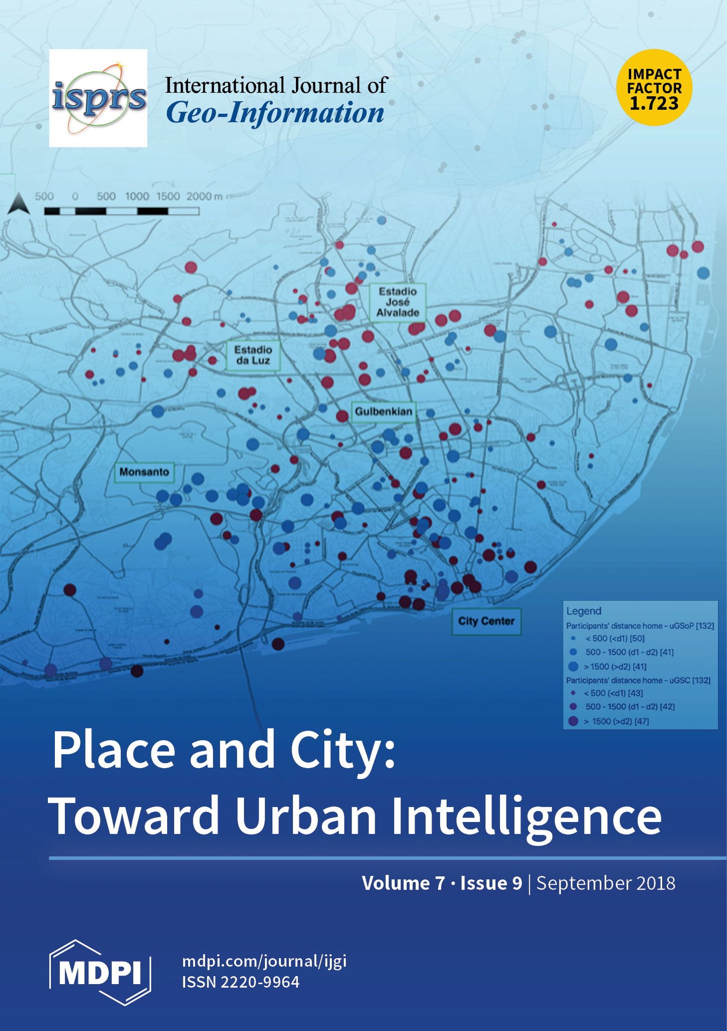
Combining Design Patterns and Topic Modeling to Discover Regions That Support Particular Functionality.
ISPRS International Journal of Geo-Information, 8(9), 385;
-
Modeling the Vagueness of Areal Geographic Objects: A Categorization System.
ISPRS International Journal of Geo-Information, 8(7), 306;

-
Reconstruction of human movement trajectories from large-scale low-frequency mobile phone data.
Computers, Environment and Urban Systems. Volume 77: 101346

-
Transferring Multiscale Map Styles Using Generative Adversarial Networks.
International Journal of Cartography. Volume 5, Issue 2-3: Pages 115-141.

-
Extracting Human Emotions at Different Places Based on Facial Expressions and Spatial Clustering Analysis.
Transactions in GIS, 23(3), 450–480.

-
Exploring the uncertainty of activity zone detection using digital footprints with multi-scaled DBSCAN.
International Journal of Geographical Information Science, 33(6), 1196-1223.

-
Identifying spatial interaction patterns of vehicle movements on urban road networks by topic modelling.
Computers, Environment and Urban Systems, 74, 50-61.

-
A Provenance-Based Model for Facilitating Replicability and Reproducibility in Spatial Analysis.
In 2019 ASU SPARC Workshop on Replicability and Reproducibility in Geospatial Research.

-
Using Semantic Signatures for Social Sensing in Urban Environments.
In Constantinos Antoniou, Loukas Dimitriou, Francisco Pereira (Eds). Mobility Patterns, Big Data and Transport Analytics. Elsevier, pp. 31-54
-
Cities as Spatial and Social Networks: Towards a Spatio-Socio-Semantic Analysis Framework.
In Xinyue Ye & Xingjian Liu (Eds): Cities as Spatial and Social Networks, pp. 21-37. Springer, Cham, 2019.
-
From Points, Lines and Polygons in GIS to Place-Based Representations Reflecting Language and Culture.
ISPRS International Journal of Geo-Information, 7(11), 452;

-
Optimizing Bus Stop Spacing Using the Simulated Annealing Algorithm with Spatial Interaction Coverage Model.
In Proceedings of the 11th ACM SIGSPATIAL International Workshop on Computational Transportation Science

-
Utilizing Reverse Viewshed Analysis in Image Geo-Localization.
In Proceedings of the 2nd ACM SIGSPATIAL International Workshop on Recommendations for Location-based Services and Social Networks (LocalRec 2018).

-
Collections of Points of Interest: How to Name Them and Why it Matters.
In Proceedings of Spatial big data and machine learning in GIScience Workshop’18, August 28-31, 2018, Melbourne, Australia.

-
Location-Based Services
The Geographic Information Science & Technology Body of Knowledge (1st Quarter 2018 Edition), John P. Wilson (Ed).

-
A context-based geoprocessing framework for optimizing meetup location of multiple moving objects along road networks.
International Journal of Geographical Information Science, 32(7), Pages 1368-1390.

-
Spatio-Temporal-Network Visualization for Exploring Human Movements and Interactions in Physical and Virtual Spaces.
In Shih-Lung Shaw and Daniel Sui (Eds): Human Dynamics Research in Smart and Connected Communities (Chapter 4). pp. 67-80, Springer.

-
ADCN: An anisotropic density-based clustering algorithm for discovering spatial point patterns with noise.
Transactions in GIS, 22 (1), 348-369.

-
Mobile GIS and Location-Based Services
In Bo Huang, Thomas J. Cova, and Ming-Hsiang Tsou et al.(Eds): Comprehensive Geographic Information Systems, 384-397

-
From ITDL to Place2Vec: Reasoning about place type similarity and relatedness by learning embeddings from augmented spatial contexts.
In Proceedings of the 25th ACM SIGSPATIAL International Conference on Advances in Geographic Information Systems, p. 35. ACM, 2017.

-
Road2vec: Measuring traffic interactions in urban road system from massive travel routes.
ISPRS International Journal of Geo-Information, 6(11), 321;

-
Big Geo-Data.
Encyclopedia of Big Data. L.A. Schintler, C.L. McNeely (eds.)

-
Spatial Scientometrics.
Encyclopedia of Big Data. L.A. Schintler, C.L. McNeely (eds.)

-
Extracting urban functional regions from points of interest and human activities on location‐based social networks.
Transactions in GIS, 21 (13), 446-467.

-
A data-synthesis-driven method for detecting and extracting vague cognitive regions.
International Journal of Geographical Information Science, 31(6), Pages 1245-1271.

-
Constructing gazetteers from volunteered big geo-data based on Hadoop.
Computers, Environment and Urban Systems, 61, 172-186.

-
Uncovering the digital divide and the physical divide in Senegal using mobile phone data.
In Daniel A. Griffith, Yongwan Chun, Denis J. Dean.(Eds): Advances in Geocomputation, 143-151, Springer, Cham.
2024
2023
2022
2021
2020
2019
2018
2017
2016 and before
Please refer to Google Scholar Page