A roundtable discussion: defining urban data science

Reference: Wei Kang, Taylor Oshan, Levi J Wolf, Geoff Boeing, Vanessa Frias-Martinez, Song Gao, Ate Poorthuis, Wenfei Xu. (2019) A roundtable discussion: defining urban data science. Environment and Planning B: Urban Analytics and City Science. 46(9), 1756-1768.  DOI: 10.1177/2399808319882826 [PDF]

Abstract:

The field of urban analytics and city science has seen significant growth and development in the past 20 years. The rise of data science, both in industry and academia, has put new pressures on urban research, but has also allowed for new analytical possibilities. Because of the rapid growth and change in the field, terminology in urban analytics can be vague and unclear. This paper, an abridged synthesis of a panel discussion among scholars in Urban Data Science held at the 2019 American Association of Geographers Conference in Washington, D.C., outlines one discussion seeking a better sense of the conceptual, terminological, social, and ethical challenges faced by researchers in this emergent field. The panel outlines the difficulties of defining what is or is not urban data science, finding that good urban data science must have an expansive role in a successful discipline of “city science.” It suggests that “data science” has value as a “signaling” term in industrial or popular science applications, but which may not necessarily be well-understood within purely academic circles. The panel also discusses the normative value of doing urban data science, linking successful practice back to urban life. Overall, this panel report contributes to the wider discussion around urban analytics and city science and about the role of data science in this domain.
New IJGIS Editorial on GeoAI

Abstract: What is the current state-of-the-art in integrating results from artificial intelligence research into geographic information science and the earth sciences more broadly? Does GeoAI research contribute to the broader field of AI, or does it merely apply existing results? What are the historical roots of GeoAI? Are there core topics and maybe even moonshots that jointly drive this emerging community forward? In this editorial, we answer these questions by providing an overview of past and present work, explain how a change in data culture is fueling the rapid growth of GeoAI work, and point to future research directions that may serve as common measures of success.

Moonshot (Editorial): Can we develop an artificial GIS analyst that passes a domain-specific Turing Test by 2030?

Keywords: Spatial Data Science, GeoAI, Machine Learning, Knowledge Graphs, Geo-Semantics, Data Infrastructure

Acknowledgement: we sincerely thank all the reviewers who contribute their time to the peer-review process and ensure the quality of the accepted papers.

Special Issue Papers (up to date):

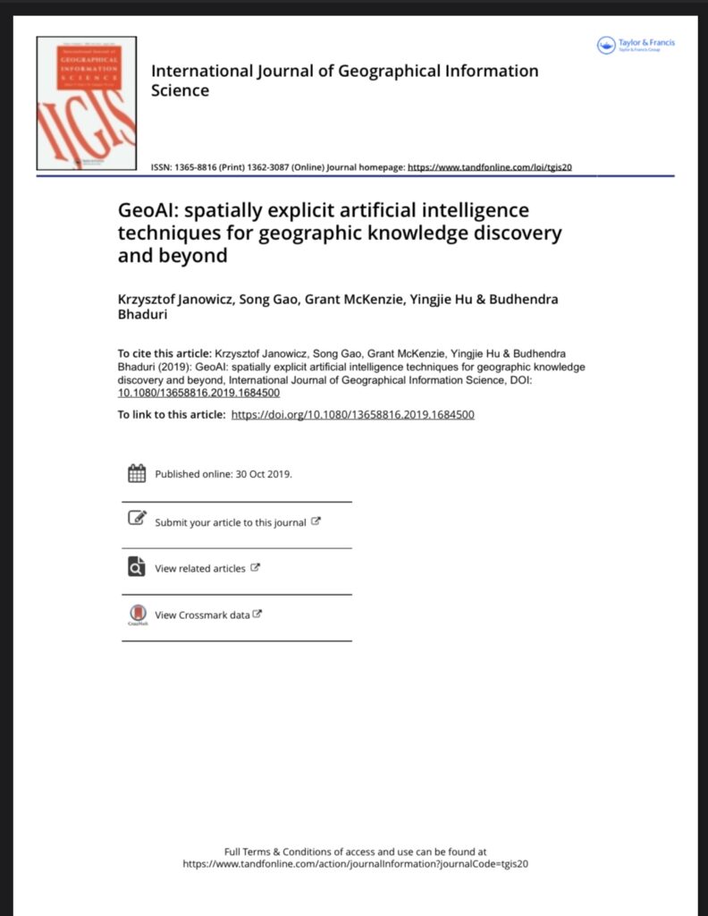
Janowicz, K., Gao, S., McKenzie, G., Hu, Y., and Bhaduri, B. (2020, Editorial). GeoAI: Spatially Explicit Artificial Intelligence Techniques for Geographic Knowledge Discovery and Beyond. International Journal of Geographical Information Science, 34(4), 625-636.

Acheson, E., Volpi, M., & Purves, R. S. (2020). Machine learning for cross-gazetteer matching of natural features. International Journal of Geographical Information Science, 1-27.

Duan, W., Chiang, Y., Leyk, S., Uhl, J. and Knoblock, C. (2020). Automatic alignment of contemporary vector data and georeferenced historical maps using reinforcement learning. International Journal of Geographical Information Science, forthcoming. 1-27; DOI: 10.1080/13658816.2019.1698742.

Guo, Z., & Feng, C. C. (2020). Using multi-scale and hierarchical deep convolutional features for 3D semantic classification of TLS point clouds. International Journal of Geographical Information Science, 1-20.

Law, S., Seresinhe, C. I., Shen, Y., & Gutierrez-Roig, M. (2020). Street-Frontage-Net: urban image classification using deep convolutional neural networks. International Journal of Geographical Information Science, 1-27.

Li, W., & Hsu, C. Y. (2020). Automated terrain feature identification from remote sensing imagery: a deep learning approach. International Journal of Geographical Information Science, 1-24.

Ren, Y., Chen, H., Han, Y., Cheng, T., Zhang, Y., & Chen, G. (2020). A hybrid integrated deep learning model for the prediction of citywide spatio-temporal flow volumes. International Journal of Geographical Information Science, 1-22.

Sparks, K., Thakur, G., Pasarkar, A., & Urban, M. (2020). A global analysis of cities’ geosocial temporal signatures for points of interest hours of operation. International Journal of Geographical Information Science, 1-18.

Xie, Y., Cai, J., Bhojwani, R., Shekhar, S., & Knight, J. (2020). A locally-constrained YOLO framework for detecting small and densely-distributed building footprints. International Journal of Geographical Information Science, 1-25.

Zhu, D., Cheng, X., Zhang, F., Yao, X., Gao, Y., & Liu, Y. (2020). Spatial interpolation using conditional generative adversarial neural networks. International Journal of Geographical Information Science, 1-24.

Dr. Clio Andris Visited UW-Madison Geography

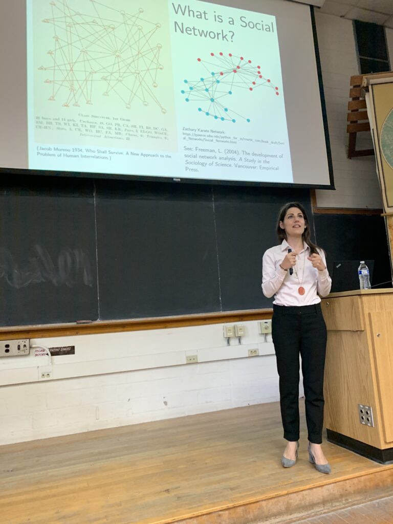
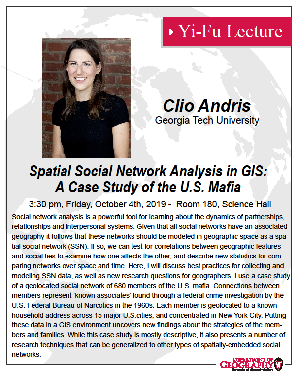
Dr. Clio Andris (Assistant Professor of City & Regional Planning and Interactive Computing) from Georgia Tech was invited to the renowned Yi-Fu Lecture at UW-Madison Geography. Our GeoDS Lab was honored to host Dr. Andris’ visit and had a great conversation on collaborative projects and joint research.

Dr. Andris is giving her talk on spatial social network analysis.
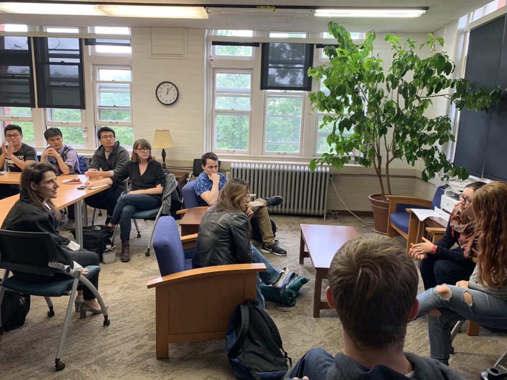
Grads Brown-Bag Talk
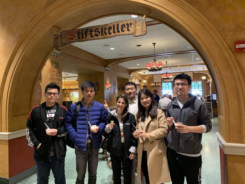
UW-Madison’s own made ice cream